info@lenzmark.com
The Ultimate App for Glen Canyon and Lake Powell Recreation
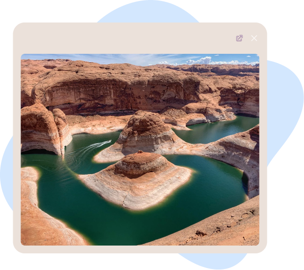
Welcome to Lake Genius, your ultimate tool to enjoy the adventure and recreation of Lake Powell, part of Glen Canyon Recreation Area.


Finally A Better Way To Simple Safe Boating
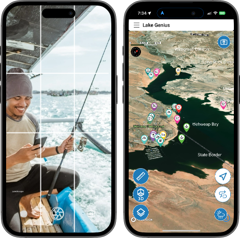
Review underwater hazards with current water level.
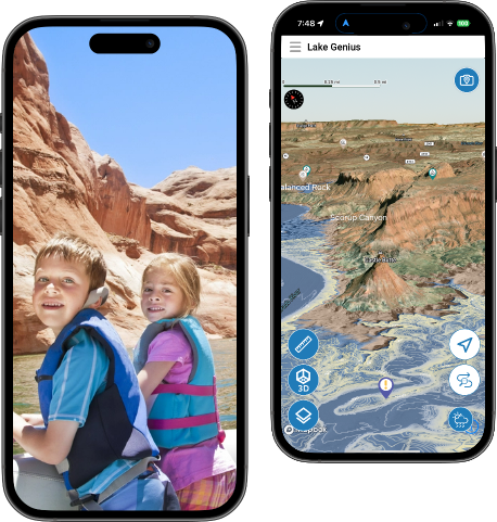
Plan and track routes directly on your phone.
Access detailed offline maps instantly, even in remote areas.
Mark fishing spots and catches effortlessly.
Over 700 Mapped Sites and Resources
Navigate to top photo and historical sites.
Know your location relative to shelter, fuel, and swimming areas.
Find popular hiking and camping spots.
Share Map Information with your Group
Share hazards and unique photo spots.
Share current location or rendezvous points.
Share favorite beach, camping, and fishing spots.
Best Lake Powell Navigation App
Best app for underwater hazards and safe boating.
Best app for park and lake sites and resources.
Best app for recreation at Glen Canyon National Park and Lake Powell.